City Level Scraping for Developers: Socrata, ArcGIS & EDPB 03/2026

City-level scraping works when you need clean, geographically indexed datasets tied to a specific municipality, and it works best when you lean on structured platforms before writing a single parser. Developers and researchers benefit most, since portals built on Socrata or ArcGIS often expose ready-made endpoints. Legal footing matters too, and the EDPB Guidelines 03/2026 now shape how you should approach it.
TL;DR:
- City-level scraping is most effective when targeting platforms like Socrata or ArcGIS that expose structured API endpoints, avoiding fragile HTML parsing.
- Recognizing platform signatures such as
/resource/ID.jsonor/arcgis/rest/services/helps build more reliable, faster pipelines that respect rate limits and anti-scraping defenses.- Incorporating geographic identifiers and standardizing data formats during normalization ensures clean joins and scalable spatial analysis across municipal datasets.
- Respecting legal boundaries by following robots.txt, avoiding sensitive data, and maintaining detailed logs supports lawful and ethical data collection practices.
- Starting with small, API-based projects before expanding to multiple cities and deploying geolocation proxies optimizes success rates and operational stability.
Table of Contents
- What City-Level Scraping Actually Means
- Recognizing Municipal Platform Signatures
- Building the Pipeline: From Raw Pages to Usable Tables
- Handling Rate Limits, Bot Defenses, and Scale
- Legal and Ethical Checklist Before You Collect
- Tools and Engineering Patterns Worth Standardizing
- Operational Note: City-Targeted Requests in Practice
- Trade-Offs Worth Weighing Before You Scale
- Where MaskLabs Fits Into Your Collection Stack
- Sources
- FAQ
What City-Level Scraping Actually Means
City-level scraping means collecting data scoped to a single municipality's administrative boundary rather than an entire state or country. That granularity matters because permits, zoning, sensor readings and public meeting records are managed locally, and mixing jurisdictions without clean boundaries breaks downstream analysis.
Typical projects include:
- Tracking public meeting agendas and minutes for civic transparency projects.
- Pulling permit and licensing data to monitor construction or business activity.
- Building social vulnerability index (SVI) datasets from census and health data.
- Aggregating traffic, air quality or noise sensor feeds published by city agencies.
- Monitoring 311 service requests or code enforcement logs over time.
When a city runs an official API or open-data portal, you often skip raw HTML entirely and query structured endpoints instead.
Recognizing Municipal Platform Signatures
Most mid-size and large cities publish data through one of a handful of platform families, and recognizing the signature saves you from building a fragile HTML parser when an API already exists. The City of Mesa's open data guidance walks through exactly this kind of endpoint discovery, and the same pattern repeats across hundreds of municipal sites.
Watch for these signatures:
- Socrata deployments expose a predictable
/resource/ID.jsonpattern, and you can filter results with SoQL query parameters like$whereor$select. - ArcGIS REST services follow a
/arcgis/rest/services/path, usually acceptingoutFields,whereandf=jsonparameters for structured queries. - Legacy portals built on Accela or EnerGov often bury permit data behind form-based search pages rather than open endpoints.
- Street-level imagery and sensor feeds sometimes live on separate subdomains or third-party hosts like Mapillary, distinct from the main civic portal.
Whenever a portal API exists, prefer it. It is faster to build against, less likely to break, and far less likely to trigger anti-bot defenses than scraping rendered HTML.
Building the Pipeline: From Raw Pages to Usable Tables
A city-level pipeline breaks into four stages, and skipping any one of them tends to show up later as broken joins or unusable exports.
- Acquisition: Start from a seed list of known city domains, then write targeted include patterns for the portal's API paths rather than crawling the whole site. Check for an API before writing any HTML parser.
- Identifiers: Attach canonical geographic identifiers, FIPS codes, GeoID, and TIGER/Line boundaries, to every record so it joins cleanly against other government geographies.
- Normalization: Standardize field names, convert timestamps to a single timezone convention, and store geometry as GeoJSON or GeoParquet rather than mixed formats.
- Storage: Write outputs to Parquet or GeoParquet files, and if you need spatial queries at scale, load them into PostGIS partitioned by city and date.
Version control your crawl configs alongside your code. Include patterns, seed lists, page caps and run parameters change over time, and without a history you lose the ability to explain why a dataset looks the way it does six months later. Provenance metadata, source URL, fetch timestamp and parser version, should travel with every record.
Pro Tip: Keep a mapping table of alternate city names and aliases; inconsistent place naming is the single most common cause of broken joins across municipal datasets.

Handling Rate Limits, Bot Defenses, and Scale
Municipal sites vary widely in how aggressively they defend against automated traffic. Some post permissive robots.txt files and nothing else; others layer in CAPTCHAs, login walls, or aggressive rate limits once traffic looks automated. Under the EDPB Guidelines 03/2026, these signals now carry weight beyond the purely technical: robots.txt, ai.txt and CAPTCHA presence factor into legitimate-interest balancing tests, so respecting them is both a compliance control and an operational one.
For scaling across dozens or hundreds of cities:
- Pace requests per domain rather than firing in parallel across your entire seed list.
- Use a distributed scheduler with exponential backoff on errors and throttling responses.
- Log every request outcome, status code, latency and retry count, so you can spot degrading success rates early.
- Route location-sensitive requests through geolocation-capable mobile proxies when a portal serves city-specific content based on the requester's apparent location.
Anti-scraping signals now carry legal weight, and the EDPB guidance on webscraping treats respecting these boundaries as evidence supporting lawful collection. Reviewing bot detection signals before you scale a crawl helps you avoid the defenses that generate this evidence in the first place.
Legal and Ethical Checklist Before You Collect
The EDPB Guidelines 03/2026 frame robots.txt, ai.txt and CAPTCHA presence as evidence in a legitimate-interest balancing test, not just technical obstacles. Treat your crawl criteria as compliance artifacts.
Before you collect:
- Define precise, documented criteria for what you collect and why, rather than scraping broadly and filtering later.
- Exclude sensitive categories, health, biometric or minors' data, unless you have a specific, documented basis.
- Log every scoping decision alongside your crawl configuration in version control.
- Pseudonymize or drop personal identifiers you do not need for your stated purpose.
Pro Tip: Publish a short crawl manifest, source list, date range, and exclusions, alongside your dataset; it doubles as both documentation and compliance evidence.
Tools and Engineering Patterns Worth Standardizing
Reliable city-scraping pipelines share a few recurring engineering patterns rather than any single tool. Build HTTP and API clients with retry and backoff logic baked in, and write testable parsers you can run against fixture responses rather than live sites.
For geospatial work:
- GeoPandas handles vector operations and joins against city boundary files.
- PostGIS supports spatial indexing and queries once your dataset grows past a few million rows.
- OSMnx pulls street network data when your project needs road or pedestrian graphs.
- GeoParquet keeps geometry compact and interoperable across tools without the overhead of a full database.
Treat datasets as first-class objects with their own metadata, not just files sitting in a bucket. The Paper2Data project built a discoverable index of more than 60,000 urban datasets by extracting structured metadata at scale, a pattern worth borrowing even for a single-city project: a small schema registry makes datasets searchable and reusable later. Add CI checks that run your parsers against known fixtures so a portal's markup change breaks a test, not a production run.
Operational Note: City-Targeted Requests in Practice
Some municipal and third-party endpoints serve different content, or throttle harder, based on the requester's apparent location. Some mobile proxy providers offer US mobile carrier IP addresses with city-level targeting across multiple US cities, plus sticky and rotating sessions for different collection patterns. Carrier IPs read as genuine mobile traffic rather than datacenter traffic, which tends to reduce geolocation-based throttling on location-sensitive endpoints. API access typically supports common languages including Python, Node.js, Java, C#, and Rust for teams integrating directly into existing pipelines.

Trade-Offs Worth Weighing Before You Scale
Build small first. Prove your pipeline against one city, lock the schema, then expand, rather than writing a generic scraper for hundreds of cities up front. Where a city offers an API or a data-sharing partnership, take that route over scraping; it is more stable and usually faster to integrate. Once you are ready to expand, inventory your target sources, write include patterns city by city, and stand up a small PostGIS or GeoParquet pipeline before you add the next ten cities.
— Jon
Where MaskLabs Fits Into Your Collection Stack
When a target endpoint throttles or restricts by apparent location, city-level mobile proxies give you a way to make requests that look like they come from inside the city you are studying, which helps keep success rates steady across a growing seed list.
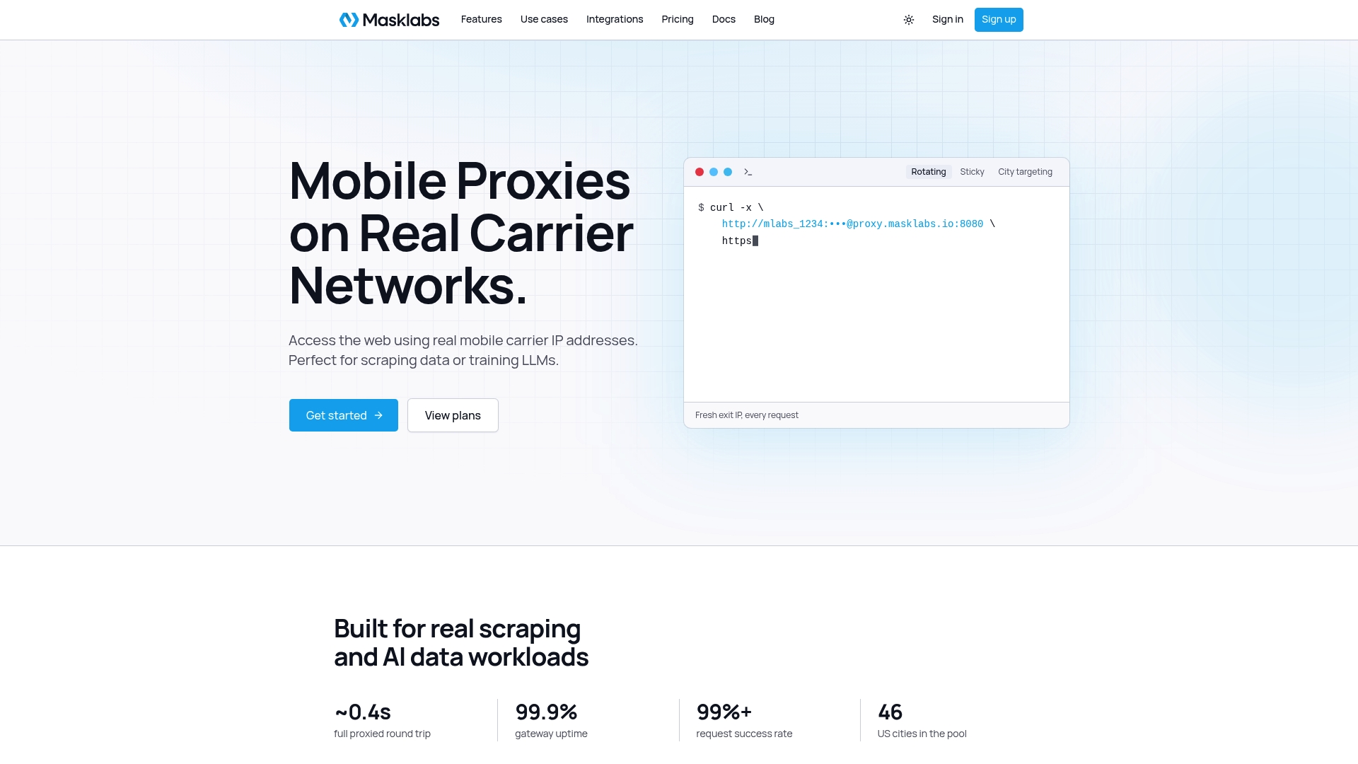
MaskLabs plans start at $30.00 per month for Starter, scaling up through Basic, Advanced, and Scale for larger data pools, all listed on the MaskLabs pricing page. Check current plan details and API documentation on the MaskLabs product page before you commit a pipeline to a specific proxy strategy.
Sources
- Guidelines 03/2026 on web scraping in the context of generative AI — EDPB
- Paper2Data: Large-Scale LLM Extraction and Metadata Structuring of Global Urban Data
- Learn how to use data — City of Mesa open data
This article is general information, not a substitute for advice from a qualified lawyer. Consult a qualified legal professional about your own circumstances before acting on anything here.
FAQ
What does "scraping" mean?
Scraping means programmatically extracting data from a website or API rather than copying it by hand. In a city-level context, it usually means pulling structured records from a municipal portal or, when no API exists, parsing the site's HTML directly.
What is the difference between "scraping" and "scrapping"?
Scraping refers to data extraction, while scrapping means discarding or abandoning something entirely. The two words are unrelated outside of sharing similar spelling, and mixing them up is a common typo rather than a technical distinction.
What is the work of a scraper?
A scraper's job is to fetch pages or API responses, parse the relevant fields, and output them in a structured, reusable format like a table or a GeoJSON file. For city-level work, that also means attaching geographic identifiers and normalizing fields so records join cleanly with other datasets.
How do I avoid getting blocked when scraping city websites?
Respecting a site's robots.txt and pacing your requests goes a long way, since the EDPB Guidelines 03/2026 treat these signals as part of a legitimate-interest test, not just a technical courtesy. Distributed scheduling with backoff, combined with geolocation-appropriate proxies for location-sensitive endpoints, also reduces throttling.
Do I need to use an API instead of scraping HTML?
Prefer the API whenever a city's portal offers one, since platforms like Socrata and ArcGIS expose stable, documented endpoints that are far less fragile than parsing rendered pages. Fall back to HTML scraping only when no structured endpoint exists for the data you need.